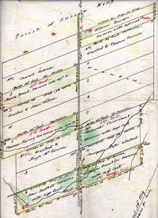
Pictured is a surviving copy made on 9 March
1892 of Land Grant Survey Map from 9 November 1829 to William Gamblin, John Bartlett,
Thomas Harvey, Alexander Carmichael, James Broad, and William Pearson. Click on map to see more detailed Survey Map
(364k).
(This document is in the possession of Ken and Susan Barbi, Annapolis, MD,
June 2007) |

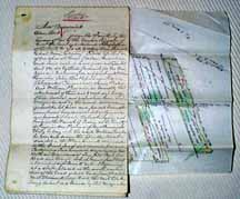
Pictured is a surviving copy made on 9 March
1892 of a Land Grant from 9 November 1829 to William Gamblin, John Bartlett, Thomas
Harvey, Alexander Carmichael, James Broad, and William Pearson.
Go to text
(This document is in the possession of Ken and Susan Barbi, Annapolis, MD,
June 2007) |
 |
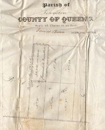
Pictured to the left is the
surviving original Land Grant Survey Map from 28 June 1855 to Samuel M. Gamblin.
Click on map to see more detailed Survey Map (385k).
(This document is in the possession of Ken and Susan Barbi, Annapolis, MD,
June 2007) |